Skip to Content
Camping ReservationsCareersContact UsDonate Now

Saugeen Valley Conservation Authority Logo

Contact Us
  • Outdoors and Recreation
    View our Outdoors and Recreation page
    • Camping
      • Durham Winter Camping
      • Reserve a Campsite
      • Group Camping
      • Firewood
      • Rules and Regulations
    • Activities and Recreation
      • Canoeing and Kayaking
      • Day Use Fees
      • Durham Disc Golf
      • Fishing
      • Hunting
      • Rent a Facility
      • Trails and Hiking
      • Saugeen Bluffs Events
      • Winter Camping at Durham CA
    • Outdoor Spaces
      • Allan Park
      • Bell's Lake
      • Brucedale
      • Denny's Dam
      • Durham
      • Hardwood Hill
      • Kinghurst
      • McBeath
      • Mildmay-Carrick
      • Saugeen Bluffs
      • Schmidt Lake
      • Stoney Island
      • Sulphur Spring
      • Varney
  • Permits and
    Planning
    View our Permits and Planning page
    • Appeal Process
    • Applying for a Permit
    • Book a Planning Act Pre-Submission Consultation
    • Environmental Regulations
    • Maps and GIS
    • Agreements
    • Planning and Regulations FAQ
    • Planning Services
    • Report a Concern
  • Forestry and
    Landowner Services
    View our Forestry and Landowner Services page
    • Forestry and Land Management
    • Stewardship Projects and Services
    • Tree Planting and Sales
  • Water Management
    and Protection
    View our Water Management and Protection page
    • Drinking Water Source Protection
    • Flood Forecasting and Warning
    • Frequently Asked Questions
    • Water Quality Monitoring
    • Water Well Improvement Program
    • Watershed Report Cards
    • Water and Climate Data
    • Water and Erosion Control Infrastructure
  • About
    Us
    View our About Us page
    • Accessibility and Customer Service Standards
    • Board of Directors
    • Careers
    • Committees
    • Contact Us
    • Delegation Request
    • Donate Now
    • Explore SVCA Program
    • Freedom of Information
    • Governance
    • Hours and Location
    • Meeting Calendar
    • Meeting Summaries
    • News and Notices
    • Subscribe
    • Tenders and RFPs
x

Press Release: SVCA Launches Regulatory Mapping Resource

HomeAbout UsNews and Notices
  • Facebook
  • Twitter
  • LinkedIn
  • Email
Back to Search

FOR IMMEDIATE RELEASE – SEPTEMBER 25TH, 2024

SAUGEEN WATERSHED, ONTARIO (Bruce, Grey, Huron, Dufferin and Wellington Counties) –

Saugeen Valley Conservation Authority (SVCA) is pleased to announce the launch of the 2024 Regulatory Mapping Resource, a new online platform dedicated to providing clear, accessible, and up-to-date information about ongoing updates to SVCA’s regulatory mapping.

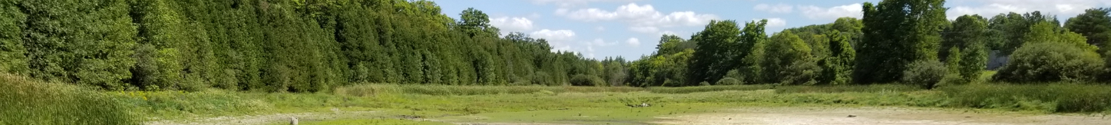
This platform offers insights into Saugeen Valley Conservation Authority regulatory and screening maps, highlighting where these maps previously stood and how they are evolving. It’s important to note that the areas shown on this resource are approximate and subject to refinement based on upcoming guidelines from Conservation Ontario. As such, the information provided is meant to guide and inform, but final determinations will depend on further analysis.

“Our primary commitment is to enhance community and environmental protection. The proposed updates to our mapping are crucial for reflecting current data on natural hazards, including flood risks and changes to regulation around shorelines and wetlands. This work is grounded in rigorous independent scientific analysis, on site verification, and peer-reviewed modeling, helping us support safer and more resilient communities.”
Erik Downing, General Manager/Secretary-Treasurer, SVCA

The 2024 Mapping Resource offers immediate access to the latest information while SVCA prepares for an in-person public meeting before the end of 2024. All community members are encouraged to share their thoughts and concerns through the feedback mechanisms provided on the platform. The data presented will continue to be refined.

When using SVCA’s online GIS mapping tool, users can view SVCA’s Regulation and screening areas. Please note, the areas depicted are approximate and represent the best available natural hazard information proposed for reflection in Regulation mapping when guidelines are available. If your project falls within an approximate regulated or screening area, you will likely need SVCA’s permission before starting certain works. This requirement applies to developments or alterations near hazardous lands such as floodplains, erosion-prone lands, unstable soils, watercourses, wetlands, valleys, steep slopes, or along the Lake Huron Shoreline, in accordance with Ontario Regulation 41/24 and the Conservation Authorities Act.

To find out more, provide your input, or sign up for the Regulatory Mapping Email List, please visit: www.saugeenconservation.ca/2024map

For more information, please contact:
Ashley Richards, Communications Coordinator
Saugeen Valley Conservation Authority
1078 Bruce Road 12, Box 150, Formosa, ON N0G 1W0
a.richards@svca.on.ca
(519)369-4295


To download the press release, please click here.

Subscribe to page updates

Contact Us

Subscribe

  • News and Notices
    Toggle Section News and Notices Menu
    • Careers
    • Flood Messages
    • Low Water Advisories
    • Media Releases
    • Newsletter Sign Up
    • Subscribe
  • Close Full About Us Menu
    Toggle Section
    • Accessibility and Customer Service Standards
    • Board of Directors
    • Careers
    • Committees
    • Contact Us
    • Delegation Request
    • Donate Now
    • Explore SVCA Program
    • Freedom of Information
    • Governance
    • Hours and Location
    • Meeting Calendar
    • Meeting Summaries
    • Subscribe
    • Tenders and RFPs

Saugeen Valley Conservation Authority footer logo

1078 Bruce Rd. 12
Box 150
Formosa, Ontario
N0G 1W0

Phone: (519) 364-1255
Send an Email

  • Follow Us

    • Facebook
    • Twitter
    • Instagram
  • Links

    • Accessibility
    • Freedom of Information
    • Privacy Statement
    • Sitemap
    • Website Feedback
    • Contact Us

© Copyright 2021 Saugeen Valley Conservation Authority

Designed by eSolutionsGroup

Browser Compatibility Notification

It appears you are trying to access this site using an outdated browser. As a result, parts of the site may not function properly for you. We recommend updating your browser to its most recent version at your earliest convenience.