FOR IMMEDIATE RELEASE – MARCH 9th, 2026
Spring Freshet Underway Across Saugeen Watershed
SAUGEEN WATERSHED, ONTARIO (Bruce, Grey, Huron, Dufferin and Wellington Counties) –
Saugeen Valley Conservation Authority (SVCA) is monitoring rising water levels across the Saugeen watershed as warm temperatures, rainfall, and melting snow combine to drive the annual spring freshet.
While spring flooding is a natural part of life in Ontario watersheds, the way rivers respond is shaped by the health of the landscape around them. Watersheds with strong wetland systems, forest cover, and natural vegetation along riverbanks tend to absorb and slow water during rain and snowmelt. Areas with fewer natural buffers often experience sharper spikes in water levels and faster runoff. Events like the current freshet offer a clear reminder that protecting natural spaces is not only an environmental priority, but also essential for community safety, infrastructure protection, and local economies.
Over the past several days, rainfall and rapid snowmelt have produced significant increases in water levels across many rivers and streams in the Saugeen watershed. Monitoring stations throughout the system show rising flows over the past 24 hours, with some rivers responding quickly as runoff moves through the landscape. Current monitoring data shows substantial increases in streamflow at multiple locations across the watershed. One of the most notable conditions during this event has been record high flows observed in the Pine River, which responds quickly to rain and snowmelt.
“Flood events remind us that watershed management happens long before the water rises. Through local monitoring, conservation land management, and regulating development, SVCA works to monitor and protect the natural systems that store and slow water. All of that work helps reduce flood risk and protect people and property.”
- Erik Downing, General Manager/ Secretary-Treasurer, SVCA
Staff Monitoring Conditions Across the Watershed
SVCA staff have been working throughout the weekend to monitor conditions across the watershed. Staff track water levels, rainfall, and snowmelt through a network of flood reporting stations located across 15 member municipalities.
This information is shared directly with municipalities, emergency management staff, and first responders, allowing for coordinated local response and timely public communication. SVCA uses this data to issue flood statements and updates as conditions evolve.
Why Landscape Matters
Not all rivers respond to rainfall and snowmelt in the same way. Rivers such as the Pine River and the Penetangore River tend to respond very quickly to precipitation and melting snow. These systems are often described as “flashy,” meaning water levels rise rapidly and flows spike quickly.
One of the reasons for this is landscape condition. The Pine River and Penetangore River subwatersheds have the lowest levels of forest and wetland cover of Saugeen Conservation’s ten subwatersheds. It is not a coincidence that they also show some of the most rapid and volatile river responses during rainfall and snowmelt events.
Wetlands, forests, and healthy vegetation along rivers, known as riparian cover, function as natural water control infrastructure. These landscapes absorb and store water, slowing runoff and releasing it gradually over time. Without these natural buffers, water moves quickly across the landscape and into rivers, causing faster rises and higher peaks.
Other parts of the watershed behave very differently. Portions of the northeastern watershed, including areas influenced by the Greenock Swamp and the Rocky Saugeen system, contain extensive wetlands and forest cover. These landscapes slow the movement of water, causing rivers to rise more gradually. Peak flows tend to be lower and the crest is spread out over a longer period of time.
This natural buffering effect reduces erosion, lowers pressure on infrastructure, and improves safety for communities. When wetlands, forests, and healthy riverbanks are protected, watersheds respond more moderately to storms and snowmelt.
A Natural Example Close to Home
The Greenock Swamp, home to SVCA’s Schmidt Lake Conservation Area, provides one of the clearest examples of how natural landscapes help protect communities. As Southern Ontario’s largest forested wetland, covering roughly 20,000 acres, SVCA owns half of it and protects all of it through permitting review. Wetlands like the Greenock Swamp act as a natural sponge, absorbing water during heavy rain and snowmelt and releasing it gradually during drier periods, helping stabilize water levels across the watershed. The area is also one of the most ecologically diverse landscapes in Grey and Bruce Counties.
Local Watershed Management Protects Local Communities
Conservation Authorities exist to help communities reduce flood risk, protect natural systems, and guide safe development through environmental planning and regulation. SVCA works closely with municipalities, landowners, and local partners to monitor watershed conditions, maintaining long-term datasets that span decades. This long-term monitoring is essential for understanding how watersheds behave over time and supports informed decisions that help protect people, property, and infrastructure.
We are reminded of the importance of local monitoring and local response during events like spring freshet. SVCA’s immense organizational knowledge, on the ground presence, and decades of data allows municipalities and emergency services to make informed decisions in real time. Supporting local watershed management helps protect communities today and strengthens the resilience of the watershed into the future.
Residents interested in watershed conditions can explore water level, rainfall, snowpack, and water quality data collected across the Saugeen watershed through SVCA’s public data portal. www.saugeenconservation.ca/data
Residents are reminded to use caution around watercourses and monitor local flood messages. Report flooding you see by using our portal: www.saugeenconservation.ca/reportflood
For more information, please contact:
Saugeen Valley Conservation Authority
Email: media@svca.on.ca
Cell: 519-369-4295
Website: www.saugeenconservation.ca

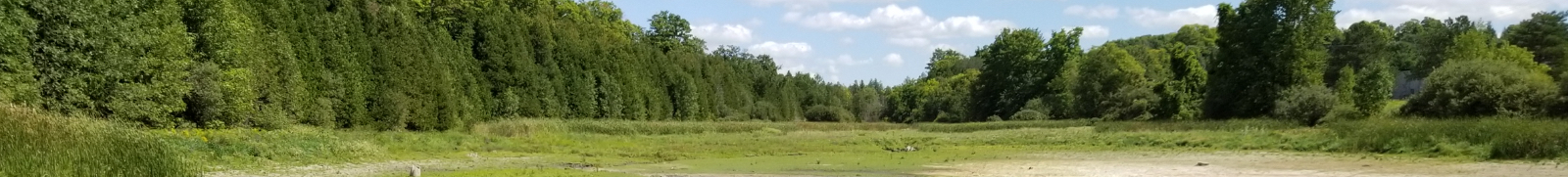
Erik Downing, SVCA GM/S-T and Jody Duncan, SVCA Flood Forecasting and Warning Coordinator at work monitoring in the watershed during spring freshet.
Contact Us